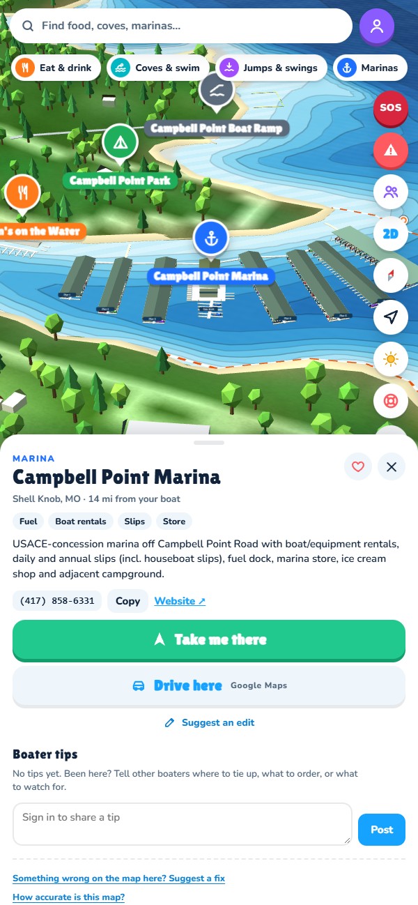
Routes that stay in the channel, boat-up restaurants with exactly where to tie up, coves, no-wake zones, today's lake level and your friends on the water. Made on the lake, for the lake.
Works in your phone's browser today. On iPhone, open it in Safari and use Share → Add to Home Screen so it opens like an app.
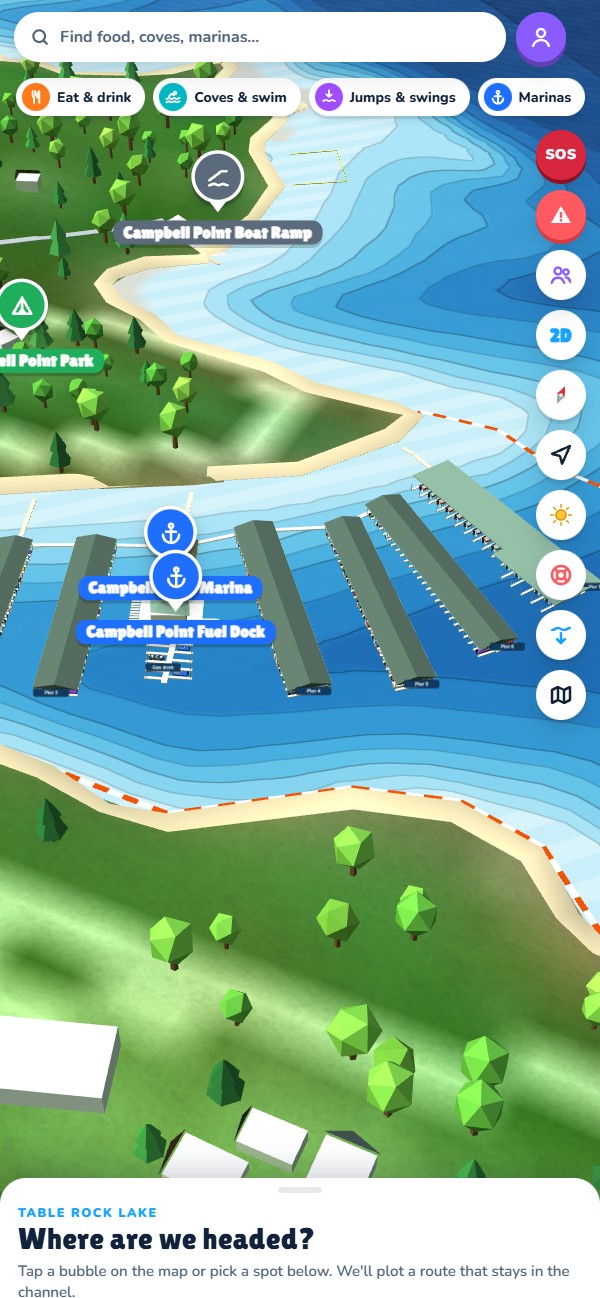
Tap anywhere and get a route that follows the channel, steers around shallow water and slows down in no-wake zones.
Every lake restaurant, with where to tie up, the walk or shuttle, and whether it's open this season.
Depth shading adjusted to today's Corps lake level, plus a shallow-water alarm.
Floating logs, shallow spots and missing buoys reported by boaters, Waze-style.
See your crew's boats while you're on the lake. It shuts off when you leave the water.
Wind, storms and a "leave by" time to get home before dark.
USGS depth survey, Corps of Engineers lake level and buoys, 2024 aerial photos, and every dock on the lake traced by hand.
Table Rock Navigator helps you plan your day and find your way around. It isn't a replacement for watching the water, the buoys and other boats. Depths come from a 2020 survey and conditions change.
Questions, a business listing to fix, or need to delete your account?